UPDATE: A formidable 330-mile snow wall is forecast to batter the UK this weekend, as heavy rain and freezing temperatures sweep across the South West. New meteorological data from WXCharts indicates that snowfall will begin near Aberystwyth, Wales around 3 PM on December 5, 2023, with conditions worsening throughout the evening.
This icy front will stretch from northern Wales to Aviemore, Scotland, hitting major regions by approximately 6 PM. Weather experts predict that areas in northern Wales could see up to five inches of snow, while scattered locations in Scotland may accumulate around one inch. The Met Office has issued urgent warnings for severe weather, advising millions to prepare for persistent downpours and treacherous conditions.
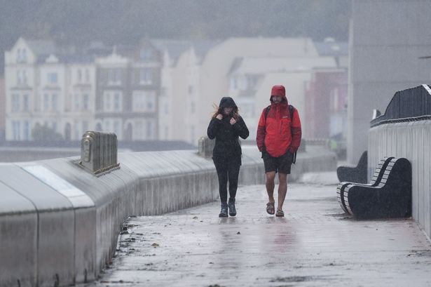
As the storm approaches, Southern England, the West Midlands, the North West, and Wales are expected to experience the worst of the torrential rain. Northern Ireland and southwestern Scotland are also bracing for similar harsh weather. The Met Office’s extended outlook highlights the unsettling trend, stating that unsettled conditions will likely persist through mid-December.
According to a statement from the Met Office, “likely a continuation of the unsettled conditions seen for much of the week with further showers or some longer spells of rain affecting much of the country.” They also warn of “locally heavy rain, particularly on hills exposed to the strong southerly winds.”
This latest weather pattern poses serious implications for holiday travelers and communities preparing for Christmas festivities. With temperatures dropping and heavy rains expected, local authorities are advising residents to take precautions and stay informed on the evolving situation.
The forecast indicates that after the initial rain, conditions may brighten but will remain chilly and breezy, interspersed with heavy showers. Residents are advised to remain vigilant, as further organized rain is expected on Monday, December 8.
As the winter weather settles in, the public is urged to stay updated on the latest alerts and forecasts from the Met Office and local news sources. With more snow anticipated, particularly in hilly regions, the potential for hazardous travel conditions increases dramatically.
This urgent weather update is critical for anyone in the affected areas. Authorities recommend checking road conditions before travel and preparing for possible disruptions. As we approach the festive season, ensuring safety during adverse weather must remain a top priority.
The Met Office notes that while average temperatures may remain close to normal, colder spells could develop, especially if prolonged settled weather occurs. Expect to see updates as conditions evolve.
Stay tuned for more developments on this severe weather event as it unfolds across the UK.